Waitsfield to Moretown
This route follows a scenic section of road along the Mad River to Moretown, avoiding traffic along Route 100. There are two options beginning in Waitsfield: a shorter but no-less-scenic ride loops back to Route 100B via Moretown Common Road, while the longer route, roughly 30 miles, takes motorists over Moretown Mountain Road to Northfield Falls and through a total of five covered bridges.
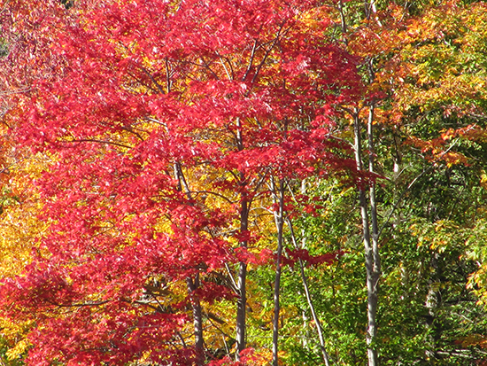
Both offer spectacular wide-open views of the Mad River Valley, as well as heavily wooded areas sure to burst with color over the next few weeks. The following are brief route descriptions.
Begin in the village of Waitsfield, and head north to Tremblay Road. Turn right onto Tremblay and follow it to the top, turning left at the stop sign onto North Road.
Follow North Road as it descends and shortly turns to dirt near the Pine Brook covered bridge. Open fields and the mountains beyond become visible to the south. Old farmhouses and barns set amid farm fields and meadows dot the road as it meanders up and down over the hilly landscape.
The road crosses the Moretown town line at about five miles and becomes Pony Farm Road. Sweeping views of The Valley open up, and this may be a good spot to pull over for some photographs. The Mad River becomes visible to the left once again after about one mile, shortly before the road meets up with Route 100B.
Take a right at a T-intersection with Route 100B and drive through the village of Moretown, which boasts a general store, a few churches and many historic homes. A sharp right just past the general store brings motorists up a steep hill on Moretown Common Road. For the longer route, go straight on Moretown Mountain Road. Stay on Moretown Common Road (bearing left) for the shorter ride.
Moretown Mountain Road to Northfield Falls
On the longer route, the mostly dirt Moretown Mountain Road continues to climb for about three miles. Some open fields allow views to the southeast, but forest dominates the landscape here.
As the hill crests at about 9.5 miles, there is a pull-off to stop and look back down the road, toward the northwest. The tip of Camel's Hump is visible in the distance.
The road descends and becomes paved again at about 14 miles. As the road, now called Cox Brook Road, makes its way to the small settlement of Northfield Falls, motorists pass through not one, not two, but three covered bridges, all within one-quarter of a mile of each other.
The three bridges, called the Northfield Falls, Upper and Lower Cox bridges, date back to the late 1800s. They cross the Cox Brook, a tributary of the Dog River.
This group of bridges is the only place in Vermont where one covered bridge can be seen from the portal of another, as is possible from the Lower Cox and Northfield Falls bridges, according to information from the Central Vermont Chamber of Commerce.
After entering Northfield Falls, a right turn takes motorists to Northfield, home of Norwich University. Several cafes and restaurants in Depot Square, the town's village green, provide lunch options.
Motorists may continue to travel south on Route 12A to Roxbury, returning to the Mad River Valley via Roxbury Gap, a route that also offers many foliage views. Another option is to double back on Moretown Mountain Road.
Moretown Common Road to Route 100B
Moretown Common Road roughly parallels Route 100B as it winds its way along the Mad River but follows a ridge that offers spectacular views of Camel's Hump and mountains to the north. Open fields also allow unobstructed views south down the Mad River Valley. Any number of spots on this quiet road dotted with an occasional farmhouse or barn would be suitable for photos.
The road doesn't enter the woods for an extended period until it nears the intersection with Route 100B. Route 100B, although far busier than Moretown Common Road, also has many points of interest. It was designated the Mad River Byway by the National Scenic Byways Program and offers views of foliage on steep hillsides bordering the Mad River. Motorists may return to Moretown by turning left on Route 100B.


