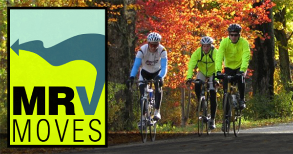
Walkers, bikers and hikers in The Valley are invited to discuss how to improve sidewalks, trails, crosswalks and bicycle facilities at the Mad River Valley (MRV) Moves public open house and workshop on February 11 at 6 p.m. This gathering is an opportunity to see draft active transportation recommendations for the community and provide feedback. The meeting will be held at the Waitsfield United Church of Christ Village Meeting House.
This meeting is part of the overall public engagement process for the MRV Moves Active Transportation Plan that is currently under way. The MRV Moves plan will articulate a unified, multitown, watershedwide vision for recreational trails and nonmotorized transportation facilities, how they integrate with economic development, enhance visitor experiences, enhance residents’ quality of life and improve transportation choices.
The MRV has many nonmotorized transportation facilities, including over 100 miles of public trails, as well as many local organizations and individuals working to promote and embrace active transportation. The MRV Moves Active Transportation Plan will seek to build upon and unify the decades of projects, initiatives and organizations dedicated to active transportation in The Valley to provide a cohesive and collaborative vision for the future.
The MRV Moves Plan will implement this broadly held vision by identifying specific goals and action steps to develop, maintain and promote nonmotorized transportation facilities in The Valley as community assets for residents and visitors.
“Implementation of the plan will be further enhanced through broad public input and involvement and by gaining wide public and decision-maker support,” said Joshua Schwartz, executive director of the Mad River Valley Planning District, which is leading the project.
“The planning process for the MRV Moves Plan began in the fall of 2015. The planning team distributed postcards around The Valley, set up booths at the Waitsfield Farmers’ Market and Sugarbush Community Day and worked with partner organizations to spread the word about our process and the project website (www.mrvmoves.org),” he continued.
The planning team also distributed a public survey, which received over 350 responses – 87 percent from locals, 10 percent from second-home owners and 3 percent from visitors. Stakeholder meetings with the U.S. Forest Service, the Vermont Department of Forests, Parks and Recreation, the Vermont Agency of Transportation, the Vermont Agency of Commerce and Community Development, the Central Vermont Regional Planning Commission and the Natural Resources Board District Commission have been conducted. The planning team has also had regular check-ins with the advisory committee for the project, which includes representatives from the Mad River Valley Chamber of Commerce, the MRV Rotary, the Mad River Path Association, the Mad River Riders, the VT Land Trust, Sugarbush Resort, the Central Vermont Regional Planning Commission, the Mad River Valley Planning District, the Vermont Agency of Transportation, the Vermont Agency of Commerce & Community Development and the towns of Waitsfield, Warren, Fayston and Moretown.
“Through this process, existing conditions and community desires have been analyzed to fully understand the opportunities and constraints for active transportation in the Mad River Valley. With this understanding, the planning team and the advisory committee have developed conceptual plans that illustrate creative responses for reaching the community’s vision and addressing the identified opportunities and constraints,” Schwartz said.
These concepts do the following:
• Create a complete active transportation system that allows for nonmotorized travel throughout the Mad River Valley.
• Provide access to important origins and destinations.
• Expand mobility and increase safety of users.
• Enhance the traveling experience of motorists, pedestrians, bicyclists or transit users.
• Enhance stormwater collection and treatment and address opportunities for mitigating potential impacts to natural resources.
• Incorporate traffic calming measures as needed and appropriate, based on existing speed data.
• Promote connections between the village centers.
• Provide year-round facilities for active transportation.
• Incorporate recreational access, visitor accommodation and tourism objectives into the broader transportation network.


