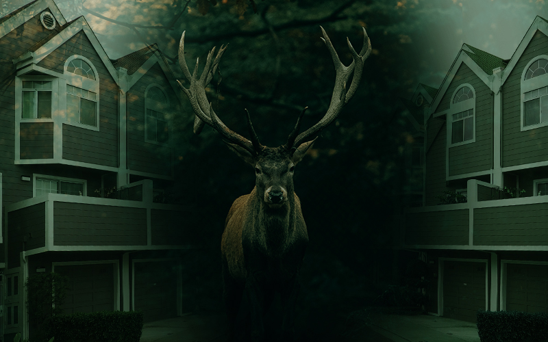
Warren Conservation Commission chair Jito Coleman came before the Warren Select Board on April 12 to request permission to create maps for Warren’s wildlife corridors as the planning commission develops new land use development regulations (LUDRs).
“We’ve been working with the planning commission on the new LUDRs,” Coleman said. “We’re in tight alignment on almost everything. We’ve been working with the Agency of Natural Resources to develop maps for wildlife corridors and habitat areas and forest blocks.”
He said the commission has the necessary data to create the maps and wanted to confirm with the select board that they had permission to create such maps to include in the new LUDRs. “The planning commission is not willing to put those maps in without the select board approving it,” he said. “We will prepare these maps in GIS format to present to you. If they’re not mapped, they [the planning commission] can’t take them into account.”
Select board member Devin Klein Corrigan asked, “If this map were included [in the LUDRs] it would allow for greater protection for wildlife in areas otherwise developable?” Coleman responded in the affirmative.
“This is just to let you know what’s going on. The planning commission will be here next meeting,” Coleman said. The select board approved the creation of maps of wildlife corridors to be used in the new LUDRs.
Also at the April 12 meeting, Susan Klein came before the board to have the permit for the town’s Fourth of July celebration approved. She said the parade’s grand marshals will be Win Smith and Maggie Smith and the theme will be “liberty.” Posters will be available and purchasers will be encouraged to donate to the charitable organization of their choice for Ukrainian relief.
One resident expressed concern that a vendor on a corner last year had blocked people’s views. Klein said that the property owner had allowed that vendor to use their land and she will make sure all vendors are set further back so as not to obstruct views.
Another resident questioned parking enforcement and that the town designate certain areas, such as Fuller Hill and Lincoln Gap Road, as ‘no parking.’ The select board approved the permit with the understanding that a ‘no parking’ plan would be included in the permit.